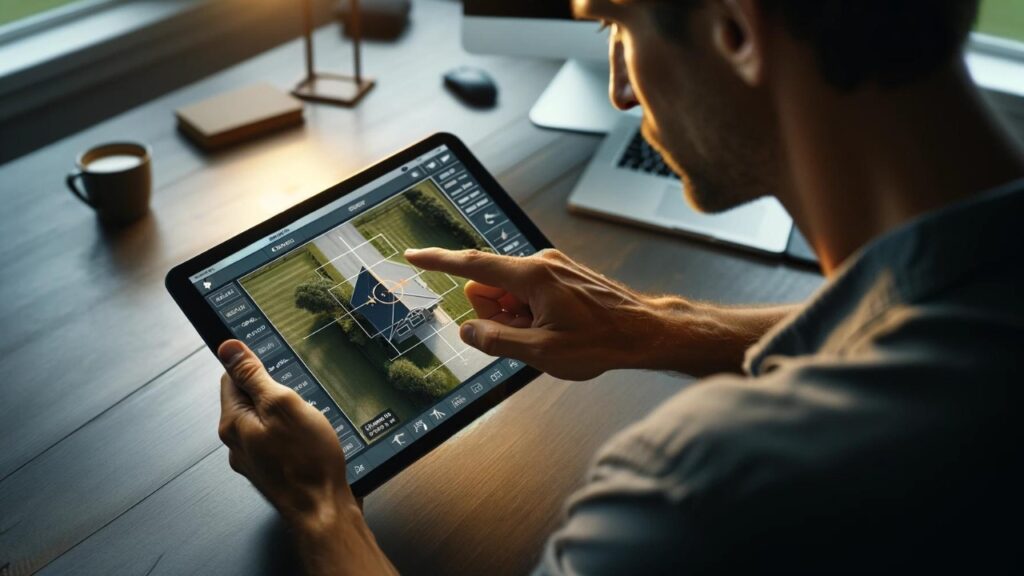
Drone Inspections Delivering Unparalleled Clarity And Insight
Property insights for smarter planning, building, and efficiency.
Number One for a Reason
Industry leaders trust Estimate FLorida Consulting to deliver, each and every time.
Images in Our Database
0B
Miles Flown Per Year
0M
Patents and Counting
0M+
The Clearest Imagery and Property Data Available
Gain a Competitive Edge
20 years proven experience providing the highest resolution imagery
4x more detailed than standard aerial imagery
70x more detailed than standard satellite imagery
Building measurements to the ninth decimal point
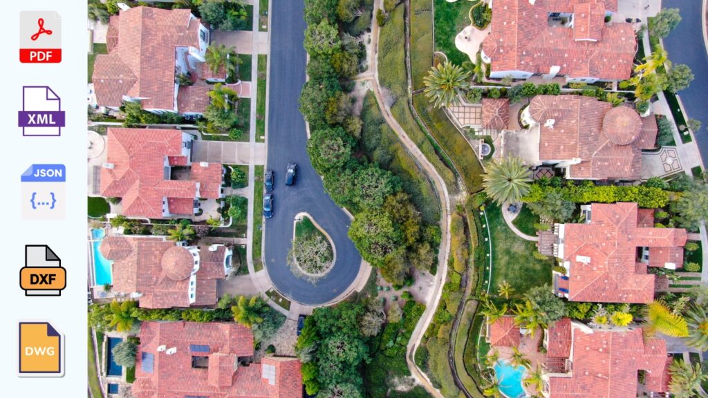
Versatile file types for your adaptable business
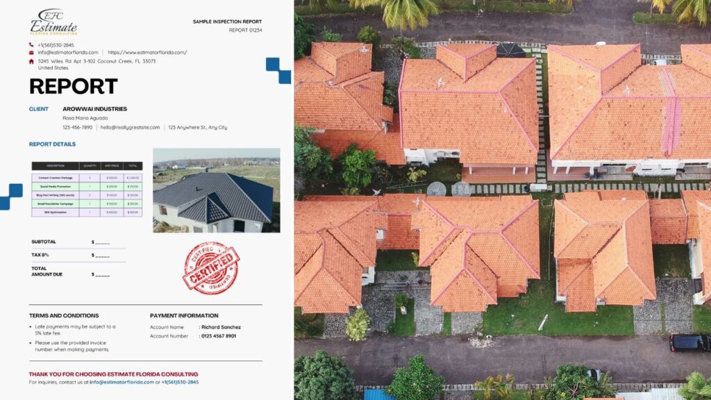
Get reports in PDF, XML, JSON and DXF formats at any time
Import directly into third party integrations and industry workflows
Our Products
Get the best geospatial data on the market – in any format
RevealImagery
Oblique to orthogonal. Mosaics to patented high-res. We have the imagery to meet your needs in an ever changing world.
Property Data
Reduce costs, minimize labor safety risks, and increase profitability. Get ultra-detailed contextual roof information.
Assess
Oblique to orthogonal. Mosaics to patented high-res. We have the imagery to meet your needs in an ever changing world.
Join Our Team
Think that Estimate Florida Consulting might be your perfect match? Take a look at our current opportunities.
We are always looking to network with top talent. If you do not see an exact fit for a current role, email info@estimatorflorida.com with your resume. Sorry agencies, we prefer to reward our employees with generous referral bonuses so we are not responsible for any fees related to unsolicited resumes.