GIS and Spatial Analytics: Smarter and More Sustainable City Development
Cities are booming. As of today, more than half the citizens of the globe live in cities, and the number is rising. So many individuals are pouring into the cities, and the individuals planning, developing, and governing cities have big challenges ahead. How do cities improve for citizens, for the environment, and for business? That’s where Geographic Information Systems, or GIS, and spatial analytics come into the picture. They allow cities to base their decisions on information and grow sustainably.
What is GIS?
Let’s put it simple. GIS technology captures, stores, and displays geographic information. Consider it as a highly sophisticated map which shows the number of people living in a place, roads, green spaces, structures, and so on. This allows city planners to see everything instantly.
Spatial analytics is a component of GIS. It entails analyzing data for locations in order to uncover trends and patterns. Through spatial analytics, planners learn how various components of a city connect, predict where problems may occur, and devise plans to address issues before they occur. In essence, it transforms maps and figures into actionable information.
Why Spatial Analytics Are Relevant for City Planning?
Making Better Decisions
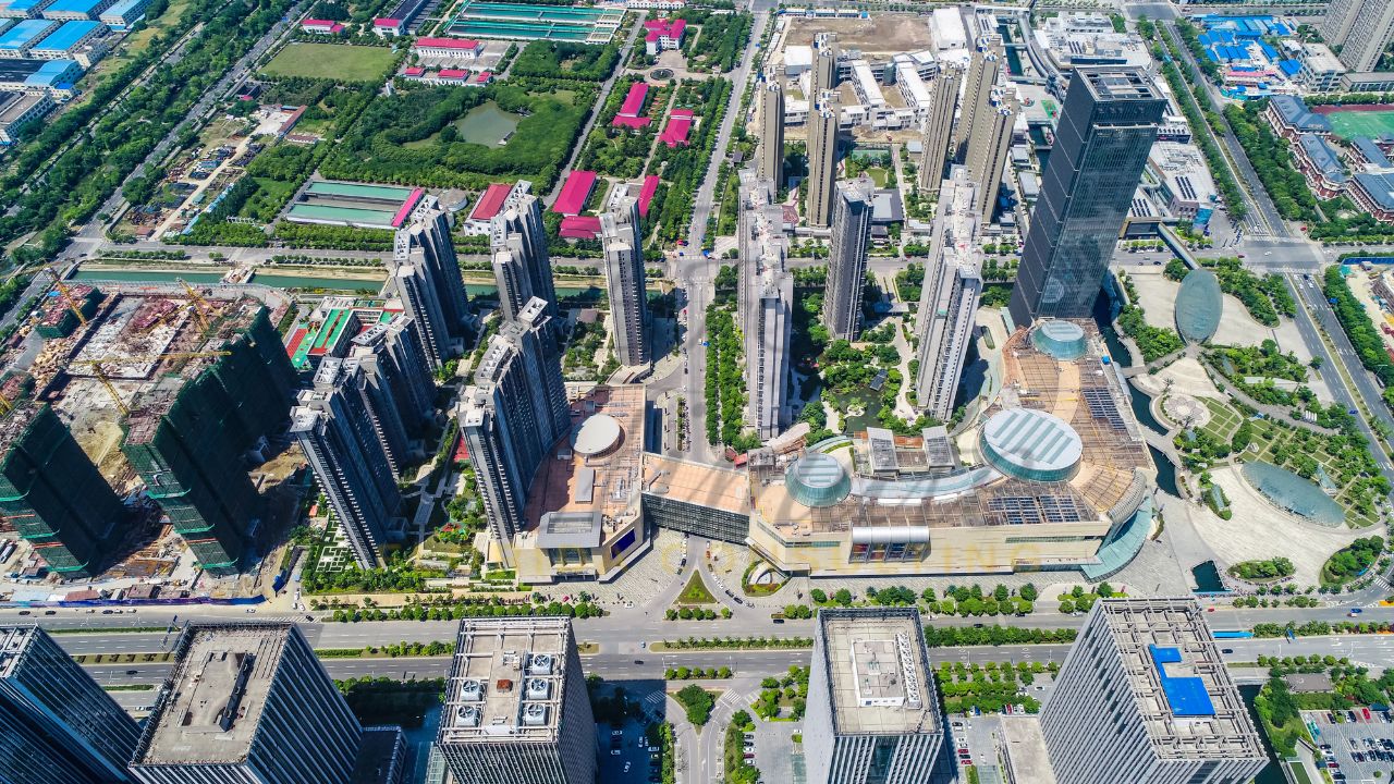
It’s not just drawing lines on a map. The decisions made affect the lives of people, traffic, the environment, and the economy. Spatial analytics makes it possible for planners to combine various kinds of data such as traffic, population, and how the land is used—to make informed decisions. For instance, before developing a new mall, planners may test how it would alter traffic or impact neighboring neighborhoods. This reduces error and ensures resources are spent effectively.
Intelligent Land Use Planning
As cities expand, the land may not be used optimally. Spatial analytics ensures the top locations for living, working, recreation, or a place of commerce. They get a view of how environmentally sensitive the land is, the locations of the infrastructures, and how accessible the areas are. Technology such as Best Spatial Analytics Software assist the planners to manage the land intelligently and sustainably.
Constructing and Sustaining Infrastructure
Good roads, bridges, water and sewage systems, and public transportation are extremely valuable for a city. Geographic analytics can indicate where existing infrastructure exists and enable the determination of where new streets or utilities would be best located. It can also indicate where the infrastructure may get strained due to increased population movement.
And when developers employ 3D capabilities such as Estimator Florida’s 3D Rendering for high-rise development projects, they can visualize complex projects before construction, which saves time, money, and headaches.
Protecting the Environment
Cities expand fast, but the environment must be preserved. Spatial analytics allows us to understand what the sensitive spots are, such as green belts or wetlands, and how construction would impact air quality, waters, and fauna. By simulating a variety of scenarios, planning professionals can devise plans for less harm and for the growth of a city to benefit the environment.
Engaging the Community
People prefer projects when they comprehend what they entail. GIS simplifies the capability for citizens to grasp how a development would change their neighborhoods. One may use interactive maps, models, and reports to see the effects of projects in a simple manner. Even minor elements of the design, like frameless glass railings, can be seen, helping communities feel part of the planning process.
Examples of GIS and Spatial Analytics Used in Real Life
Intelligent Cities
Cities like Singapore, Barcelona, and Amsterdam are becoming smarter by utilizing GIS and spatial analytics. They collect the sensed data from sensors, traffic, and energy grids and analyze them for the better functioning of cities. They can change the traffic signals for reduced congestion, manage energy usage, or monitor air quality in real time. This makes the lives of citizens living in cities smoother as well as sustainable.
Preparation for Disasters
Natural disasters are a top concern for cities. GIS allows the planner to view what locations may experience floods, hurricanes, or earthquakes. Spatial analytics can model disaster scenarios, design evacuation routes, and select potential emergency shelter locations. Such planning can help avoid injury and property loss.
Improving Transportation
Traffic congestion is a headache for anyone. Spatial analytics helps planners see where the congestion happens, how public transit is used, and what routes may have room for improvement. With this understanding, cities can help smooth traffic flow, develop bus routes, and/or expand subway lines. Ultimately, less travel time, less emissions and happier residents.

Assisting Real Estate and Economic Development
Investors and builders benefit from the spatial analytics. It identifies places which would develop significantly, highlighting the risks such as floodplains or areas with limited infrastructure. When used with the 3D modeling, developers get a glimpse of how tall structures or complex projects would appear before actually constructing them, thus ensuring the development aligns with the city plan.
The Future of City Spatial Analysis
The future is exciting. Using GIS with artificial intelligence and machine learning helps cities see how they will grow, plan for resource needs, and explore different development options. Instead of just reacting to problems, planners can stop them before they happen.
Virtual reality and augmented reality also begin to factor into the mix. They let you walk through a software-created model of a proposed project to get a feel for its visual and behavioral qualities. Technology like Digital Blue Foam’s spatial analytics makes it easier to synthesize data and simulations and visualizations for better decision making.
Conclusion
GIS and spatial analytics are changing the face of how cities develop. They enable the planners to make better choices, utilise the land more effectively, build better infrastructure, preserve the environment, and involve communities. As cities continue to grow, these tools will come into their own when developing cities that are effective, sustainable, and great places in which to live.
With GIS and spatial analytics, cities can plan for the future, learn from the past, and develop sustainably for the good of communities and the planet. It’s not merely maps or numbers, it’s making cities better for everyone.